- Home
- Latest News
- Page 2 of 3
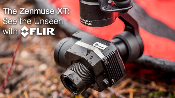
The Zenmuse XT: See the Unseen with FLIR
The Zenmuse XT is the ultimate tool for professional and reliable aerial thermal imaging. By combining DJI’s unrivaled expertise in gimbal technology and data transmission, along with the industry-leading thermal imaging advancements by FLIR, air-to-ground infrared has never been easier. With the image enhancement software suite built into the XT and real-time control, you can capture, thermal tune, and store the infrared data with unrivaled accuracy and control. The Zenmuse XT integrates easily with DJI enterprise level platforms. When paired with Inspire 1, Matrice 100 or the Matrice 600, the Zenmuse XT can take flight quickly and transmit full HD video from up to 3.1 miles
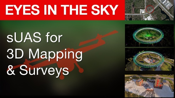
Read MoreEyes in the Sky: sUAS for 3D Mapping & Surveys
Unmanned aircraft systems have been a staple of military exercises in recent years, but a new breed of smaller, more maneuverable and economic drones are entering the commercial market. These sUAS (small Unmanned Aircraft Systems) are put to a variety of uses including product delivery, surveillance, and tracking.
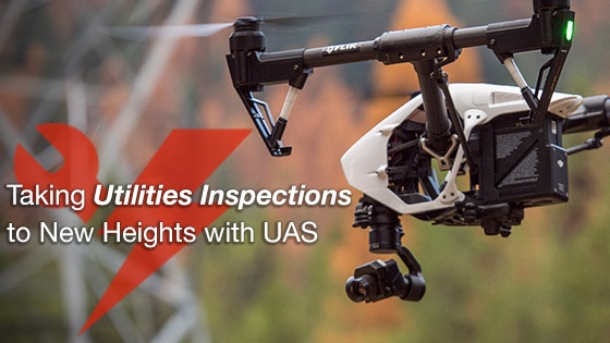
Read MoreTaking Utilities Inspections to New Heights with UAS
Utility inspectors are currently using aerial thermal imaging to perform inspections in a more efficient and safe way. With Unmanned Aircraft Systems (UAS) equipped with thermal imaging technology, inspectors can reach new heights and see things invisible to the naked eye, quickly and safely.
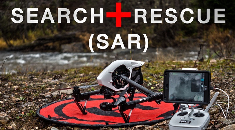
Read MoreThe Thermal Advantage: Search and Rescue Drones with FLIR Infrared
Search and rescue operation teams have always made use of cutting-edge technology in order to save lives. The story is no different with UAS (Unmanned Aircraft Systems) thermal imaging technology. Search and rescue thermal imaging is providing a way for these teams to get a visual on things that would be impossible to see using standard technology, while at the same time increasing safety and efficiency.
Read MoreThermal Imaging Helps Civil Engineers See the Unseen
Thermal imaging technology is revolutionizing the way civil engineers inspect buildings. Using thermal imaging through walls, you can see the unseen and locate defects in construction or areas of high stress that would have previously been difficult, if not impossible, to detect. In addition, thermal imaging gives you visual access to impassable areas such as narrow pipes or the insulating space between walls.
Read MoreHow Fire Departments are Using Thermal Imaging Drones
Unmanned Aircraft Systems (UAS) technology is changing the way fire departments and law enforcement agencies respond to disasters all over the world. UAS drones equipped with thermal imaging are of particular interest to fire departments, as they frequently work in dangerous environments with limited visibility, or in some cases no visibility at all.
Read MoreConstruction Evaluations and Inspections Made Simple with UAS
Viewing Construction Sites From The Top
One of the key requirements of building construction is the ability to view the landscape from above and create topographical imagery that will better help the engineers and architects visualize the final set up for the building.
Read MoreWith the many advantages that aerial imaging and infrared offer for surveillance and monitoring of the ground, and often times in challenging conditions, it was only natural that law enforcement agencies would find a way to incorporate unmanned autonomous systems (UAS) technology into their set of tactical and operational tools. We are increasingly seeing police forces from all over the world making use of thermal imaging drones for a variety of applications to not only ensure public safety, but to also ensure that each and every officer returns home safely just as they arrived for duty that day.
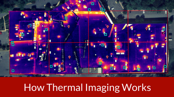
Read MoreHow Thermal Imaging Works
For professionals working in the field of law enforcement, firefighting, and search and rescue operations which require a planned and carefully controlled method of operation in an outdoor environment, it is essential to have as complete a picture of the ground situation as possible.
Read MoreHow to Legally Fly A Drone for Your Business: An Overview of FAA 107
One of the most common questions we get is, "how can I legally fly a drone for my business?" In order to fly your UAS legally for commercial purposes you will need to complete the online training course "Part 107 small Unmanned Aircraft Systems (sUAS) ALC-451", which is available on the FAA FAASTeam website. In this post, we will break down some of the important highlights of the FAA Rule Part 107 and some of the basic requirements you must meet in order to be eligible.


