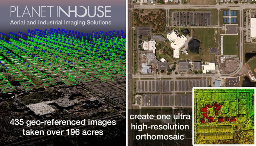
Planet Inhouse, Inc. an aerial and industrial imaging solutions provider, along with BRPH, an international architecture and engineering firm, recently mapped 196 acres at the Eastern Florida State College Melbourne campus by capturing 435 georeferenced images that were stitched together to create an ultra high-resolution orthomosaic map of the present day campus. The Melbourne campus is currently undergoing a ten-year expansion with the construction of six new buildings that are being built to attract future students, stimulate new jobs, as well as encourage economic growth. The $74.8 million dollar project is an investment into the future of Eastern Florida State, their students, the community, as well as the surrounding Central Florida region.
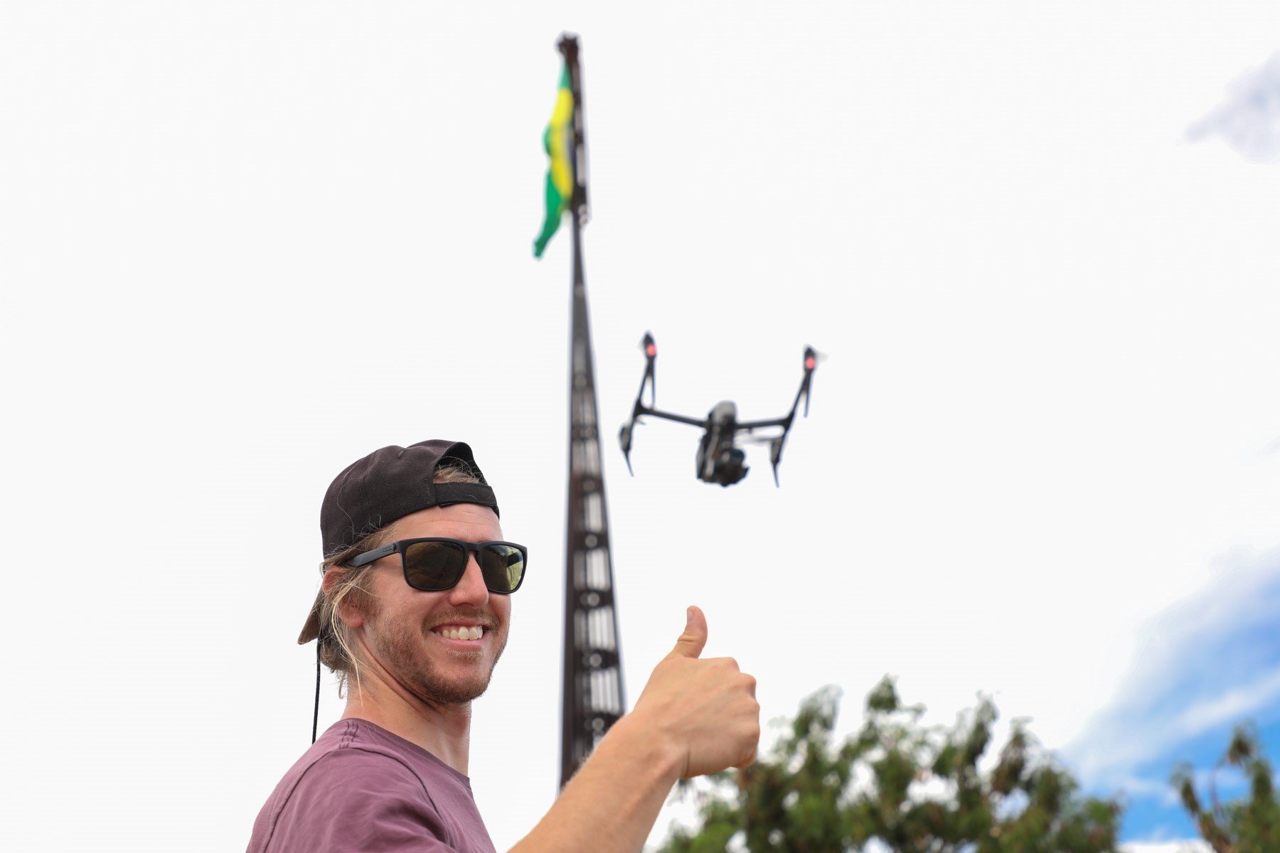
Planet Inhouse, being a pioneer and leader in FAA approved commercial UAS operations, recently hit a home run by developing a cost effective system and process to accurately map large-scale environments. The ability to provide precise, detailed and cost effective imaging solutions has positioned Planet Inhouse to be the first choice and leader in aerial data and image collection for new construction, urban growth and civil development planning.
Todd Reed, a principle at BRPH, sees great potential in offering real time aerial views before, during, and after project completion. Reed, who is also a certified thermographer, elaborates, “this method of site planning, gathering data, and then converting that data into highly accurate and visually detailed project plans does more than assist in the execution process of all phases of construction, the data and imagery captured helps everyone involved effectively manage large-scale projects and finish on time.”
When it comes to reconstruction projects, the systems offered by Planet Inhouse not only offer real time imagery and aerial views, but state of the art radiometric thermal imagery that pin points problem areas unseen to the naked eye. This infrared technology helps assist in better determining the scope and magnitude of the reconstruction project
Planet Inhouse, Inc. A FLIR Launch Partner.
Planet Inhouse was chosen to be a launch partner for the new line of aerial infrared cameras being offered by FLIR. This partnership provided Planet Inhouse early evaluation and integration to the next generation of aerial infrared cameras. The FLIR Zenmuse XT.
Planet Inhouse is continuing to research and develop innovative methods to advance thermal reports as well as create 3D models from radiometric images for a whole new dimension of thermal inspection and visual perspective.
Aerial thermography, large-scale mapping, surveying and modeling, none of this has ever been more affordable.” Says Todd A. Hillhouse, CEO and Chief UAS Pilot of Planet Inhouse. “We are able to capture high-resolution large-frame images from aerial systems and convert those images into georeferenced orthomosaics and 3D models for surveying, city modeling, large-scale mapping, urban planning, cadaster and more.”
Companies are using Planet Inhouse’s cutting edge aerial platforms and back end processing to access and utilize large-scale project mapping that can be delivered within a few days of acquisition. Due to its cost-efficiency, this technology enables the stage evolution of construction sites to be fully documented, something hardly possible before. Our clients can view the as-built situation and operation of their work site for up-to-date measurements and analysis.
Planet Inhouse is focused on being the most innovative leader to market when it comes to aerial imaging and thermography. We deliver precise, detailed & cost effective imaging solutions to these four markets.
“We will not only bring to market high resolution infrared images, but our background and mapping capabilities from our aerial platforms will bring about thermal reports and data unlike anything offered before.” - Todd A. Hillhouse
Planet Inhouse, Inc. is currently working with local contractors who specialize in search and rescue, as well as local law enforcement agencies about their current needs and the requirements to operate within FAA guidelines. Our partners along with aerial and infrared technologies will soon replace current methods and significantly reduce costs in addition to increasing operational and public safety. For a FREE aerial and thermal consultation or service demonstration contact Planet Inhouse today.
For more information on Planet Inhouse, Inc., visit us online at www.planetinhouse.com
Find us on Facebook at Facebook.com/Planetinhouse
Call toll free at 1-800-UAS -1353. In Florida call 321-216-2189