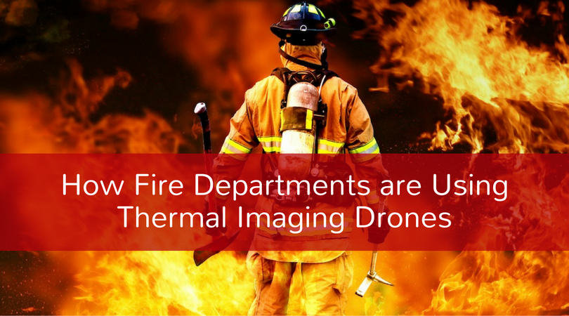
Unmanned Aircraft Systems (UAS) technology is changing the way fire departments and law enforcement agencies respond to disasters all over the world. UAS drones equipped with thermal imaging are of particular interest to fire departments, as they frequently work in dangerous environments with limited visibility, or in some cases no visibility at all.
Thermal Imaging Technology
Thermal imaging technology detects differences in temperature from a range of -50 °C to 2000 °C, allowing warm objects (like people) to stand out even in situations where there is no light. In addition to aiding in low light visibility, thermal imaging also allows you to see heat through smoke and buildings. Below we will discuss some applications of search and rescue thermal imaging.
How Can Fire Departments Use Thermal Imaging?
To answer this question, we can imagine different hypothetical scenarios:
Scenario A
There's a fire deep inside a large industrial complex. Many workers are still trapped inside. The power is out so there is no light. Security cameras that could provide a picture of the situation are rendered useless. Firefighters would essentially be going in blind, making it difficult to know exactly where the trapped workers are located in such a large complex.
In this scenario, a fire department could use thermal imaging drones to do a flyover of the large complex and quickly construct an accurate live image of what's going on inside. The drone could locate potential victims and areas where the fire is spreading so that the firefighters are not going into such a dangerous situation unaware of the conditions that await.
Scenario B
A fire has started in the middle of a dense swath of forest popular with tourists, campers, and backpackers. Even on an ideal day, it would be difficult to see through the vegetation; with all the smoke it's nearly impossible. The fire is spreading quickly and you know there are campers and backpackers in danger but a traditional flyover to look for potential victims is useless in a rapidly advancing situation unfolding over such a large area.
In this scenario, a thermal imaging drone would allow firefighters to do a flyover to obtain a precise heat map of the area, showing places where the fire is at its worst and allowing them to make informed guesses as to where the fire is spreading and where search and rescue/evacuation operations should be focused.
These are just two of the many situations in which thermal imaging drones can aid fire departments in search and rescue operations.
The UAS THERMALS™ professional team offers search and rescue thermal imaging tailored to law enforcement and fire departments. These turn-key thermal packages are ready to go and make use of the latest high-resolution thermal imaging technology. With thermal imaging drones you'll save lives and save money by having the tools you need for efficient search and rescue operations. Contact us today to discuss our real-time air-to-ground video and thermal imaging solutions for fire fighters and search and rescue.