Viewing Construction Sites From The Top
One of the key requirements of building construction is the ability to view the landscape from above and create topographical imagery that will better help the engineers and architects visualize the final set up for the building.
Traditionally, such aerial images were difficult to arrange. They would require temporary but elaborate elevated platforms which would add time and expense to the building process, and also put the workers' lives at risk. The other alterantive was to use traditional general aviation. While this was a safer alternative to using elevated platforms, it was much more costly.
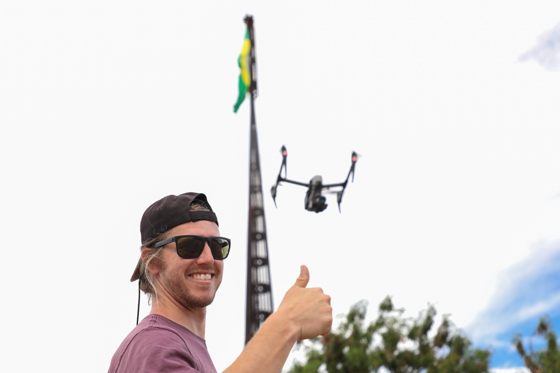
Using Aerial Drones
Fortunately, thermal imaging drones are fast replacing such operations. An unmanned aerial vehicle (UAV), commonly known as a drone or UAS (unmanned aircraft system), can gather information in a more cost-effective and efficient manner. Drones can capture the latest and most up-to-date images that give an accurate picture of a building site in real-time. Using a UAS, the operator is also able to perform additional tasks that previously would have only been accomplished through the use of satellites or aircraft.
Mapping Out Buildings With Thermal Imaging
Thermal drones carry special cameras which capture the radiation emitted from various bodies to provide thermal imagery of parts of the building that are inaccessible to the human eye. This is of significant help in reaching points within a construction site that pose a risk to human workers. Low flying capabilities allow the drone to obtain thermal imaging for such things as:
- potential mechanical failures in the building's structure
- leak detection
- inspection of components of the building that are hard to reach, such as insulation and solar panels
Various types of useful information can be extrapolated from the thermal imaging data, such as obtaining geo-referenced imagery and creating temperature profiles as well as 3D visualizations.
The Benefits Of UAS Technology
There are many reasons why drones are fast becoming the go-to choice for construction and inspection teams:
- Land surveys are easier to carry out with the help of drones. Instead of hiring a private aircraft to get the lay of the land from a high vantage point, owners can simply release the drone and observe the entire landscape from the camera attached to it.
- Drones offer greater mobility, with vertical take-off and landing ability in addition to high-flying speeds. While manned air crafts require their own runway strip or landing pads, drones can be flown from anywhere, thanks to their small size and multi-rotor construction.
- Navigating a drone is something nearly everyone can learn. This allows businesses to train team members to use this technology. There are some legal requirements you'll need to cover if you plan on flying a drone for your business. You can read about them here: How to Legally Fly A Drone for Your Business: An Overview of FAA 107
- Drones are a clean means of conducting the survey. Drones do not require gas fuel but run on electrical energy. They are easy to charge and make efficient use of the energy on every scouting mission.
UAS technology is more accessible than ever before. We have first-hand knowledge of the equipment needed to ensure you get the results you're looking for. Our team is made up of UAS pilots that use this technology every day. Learn more about our industrial and commercial IR cameras and packages here.